

HEC-RAS — The Complete Guide: Free River Hydraulics and Flood Modelling
HEC-RAS was developed by the Hydrologic Engineering Center of the US Army Corps of Engineers, and it is one of the most widely used programs in the world for river and channel hydraulics. It is free, and its hydraulic method — the Saint-Venant and shallow water equations — suits any river anywhere. What has to be adapted is the data: elevation model, design flows and local roughness.

HEC-RAS
US Army Corps of Engineers
1D/2D hydraulic model for rivers, bridges and culverts, with floodplain mapping. The world standard.
Get it from the vendorWhat HEC-RAS calculates
- 1D flow — the water surface profile along a river or channel, in steady or unsteady flow.
- 2D flow — how water spreads over a floodplain, on a computational mesh built over the elevation model. This is the tool for realistic flood maps.
- Structures — bridges, culverts, weirs, gates and levees, with accepted methods for energy losses.
- Sediment and water quality — sediment transport, scour and deposition, and temperature and water quality.
RAS Mapper
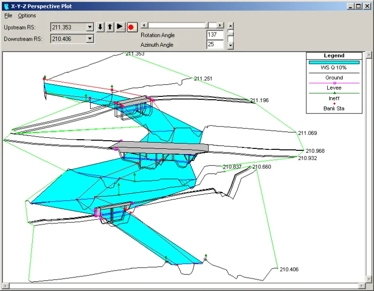
Inside HEC-RAS there is a map environment — RAS Mapper — where you load an elevation model (terrain), draw cross sections, flow lines and 2D areas, and display the results: depth, velocity and flood extent, with export to GIS layers that open in QGIS.

QGIS
QGIS.org
Open-source GIS for spatial analysis, layer work and map production.
Get it from the vendorHow to build a model
1. Prepare a good elevation model — it affects the result more than anything else. 2. Set the project coordinate system. 3. Build the geometry: river centreline, banks, cross sections or a 2D mesh. 4. Enter roughness (Manning) coefficients by ground and vegetation type. 5. Set boundary conditions — flow upstream and a stage or slope downstream. 6. Run, and check stability and sensitivity before drawing conclusions.
What's missing
The main interface runs on Windows only. The learning curve is significant, and large 2D models need a powerful computer. Support is mainly documentation and community. Most importantly: HEC-RAS computes hydraulics, not hydrology — design flows have to come from another source, for example HEC-HMS.

HEC-HMS
US Army Corps of Engineers
Rainfall-runoff hydrological model — infiltration, unit hydrograph and routing. Pairs with HEC-RAS.
Get it from the vendorCompanion tools
HEC-HMS for computing flows from rainfall, SRH-2D as another 2D model, SWMM for urban drainage, and TELEMAC-MASCARET when you need a flexible unstructured mesh or an estuary model.

SRH-2D — 2D Flow and Sediment Transport Model
U.S. Bureau of Reclamation
Two-dimensional hydraulic model for streams and rivers, including sediment transport and bed morphology.
Get it from the vendor
SWMM
US Environmental Protection Agency
Urban drainage model — runoff, sewers, detention and infiltration, including runoff quality.
Get it from the vendor
TELEMAC-MASCARET
EDF / Consortium
Hydrodynamic system for rivers and coasts on unstructured meshes — flow, waves, sediment and quality.
Get it from the vendorBottom line
For bridge and culvert design, river training and flood maps, HEC-RAS is the professional starting point — and it costs nothing.